


GS-920X UAV Laser Scanning System


Product Parameters
| System Specifications | |||
| Point Cloud Accuracy | 5cm@150m | Power Supply Range | 9-36V |
| Overall Dimensions | 214*88*106.5mm | System Power Consumption | 50W |
| Operating Temperature | -20ºC-55ºC | Mounting Platforms | Multirotor / VTOL Fixed-Wing |
| Storage Capacity | 128GB | Device Weight | 1.6kg (26MP Camera) 1.7kg (45MP Camera) |
| Working Altitude | 350m@20% Reflectivity; 450m@35% Reflectivity | ||
| POS Performance Specifications | |||
| Model | gSpin 310 | Heading Accuracy | 0.017° |
| Data Update Rate | 200Hz | Roll Accuracy | 0.005° |
| Positioning Accuracy | Horizontal 0.02m, Vertical 0.03m | Pitch Accuracy | 0.005° |
| GNSS Signal Types | GPS L1/L2/L5; GLONASS L1/L2; BDS B1c/B1/B2/B2a/B2b/B3; GALILEO E1/E5b/E5a | ||
| Laser Performance Specifications | |||
| Range | 500m@20% Reflectivity 1000m@80% Reflectivity |
Ranging Accuracy | ±5mm |
| Number of Echoes | 7 | Field of View (FOV) | 90° |
| Line Rate | 90-300 Lines per Second (LPS) | Point Rate | 100KHz-1000KHz |
| Camera Specifications | |||
| Resolution | 26MP/45MP | Focal Length | 16mm/18mm |
Applicable Scenarios


FAQ
1. Who are we?
We are an integrated factory and trading company, with our own factory production and 65 CNC machining centers. Our customers are all over the world, and we have expanded many categories according to their needs.
2. How can we guarantee quality?
We have a special quality inspection department before we leave the factory, and of course it is very important that we will strictly control the quality of each production process throughout the whole production process, so our products can reach a 99.5% pass rate.
3. What can you buy from us?
Professional drones, unmanned vehicles and other devices with high quality.
4. Why should you buy from us not from other suppliers?
We have 19 years of production, R&D and sales experience, and we have a professional after sales team to support you.
5. What services can we provide?
Accepted Delivery Terms: FOB, CIF, EXW, FCA, DDP;
Accepted Payment Currency: USD, EUR, CNY;
Accepted Payment Type: T/T, L/C, D/P, D/A, Credit Card.
-
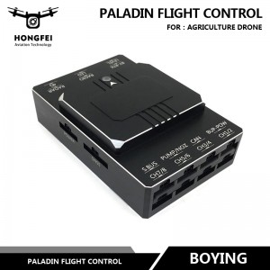
Boying Paladin Flight Control with GPS Obstacle...
-
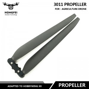
Agricultural Drone Hobbywing 3011 Propeller Ada...
-

EV-Peak U4-HP Multifunction Chargers 25A 2400W ...
-

GS-260X Integrated All in One Mobile Laser Scan...
-
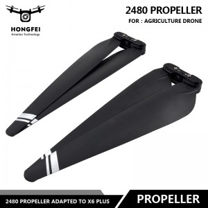
Paddles for Agriculture Uav Drone 2480 Propelle...
-
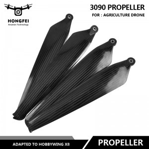
Agricultural Drone Uav Hobbywing 3090 Propeller...