On December 20, the resettlement of people in the disaster area of Gansu Province continued. In Dahejia Town, Jieshishan County, the rescue team utilized drones and other equipment to conduct a wide-ranging high-altitude survey in the quake-stricken area. Through the photoelectric payload zoom carried by the drones, it was possible to get a clear picture of the structure of the damaged houses in the disaster area. It can also provide a real-time quick jigsaw puzzle of the disaster situation in the entire disaster area. As well as through the shooting of aerial photos to form a three-dimensional reconstruction model, to assist the command center to understand the scene in all aspects. The picture shows the members of Daotong Intelligent Rescue Team taking off the drone to build a quick map of the disaster area.
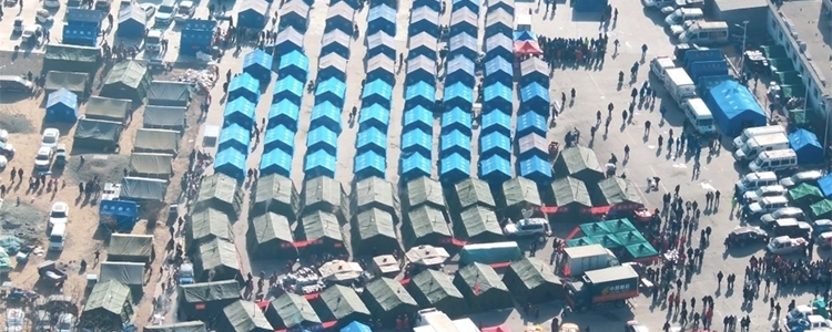
Drone footage of the settlement in the town of Dahejia
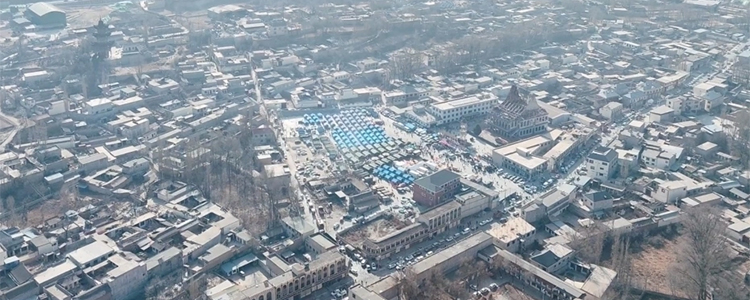
Drone shots of the town of Grand River Home
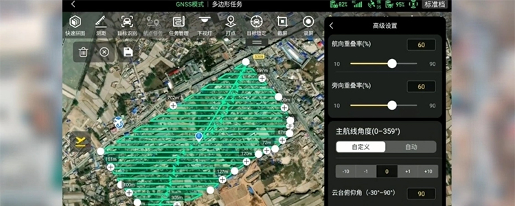
Drone rapid map building screen
Post time: Dec-28-2023