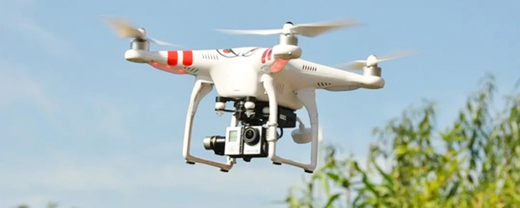
Compared with traditional surveying and mapping means and technologies, the drone aerial survey is a more innovative surveying and mapping technology. Drone aerial survey is an aerial survey means to achieve data collection and survey analysis with the help of aerial drones, which is a technical means to achieve rapid mapping with aerial image data and auxiliary technology equipped with drones, also known as aerial survey analysis.
The principle of aerial survey by drone is to install the survey images and related technical software engine on the drone, and then the drone navigates according to the set path, and continuously shoots a wide range of images during the flight, the survey images will also provide accurate positioning information, which can accurately and effectively capture the relevant information of an area. At the same time, the survey images can also map relevant geographic information to a coordinate system, thus achieving accurate mapping and survey.
A variety of information can be obtained through drone aerial survey, for example, information on land features, height and length of forest trees, etc.; information on forest grass coverage, etc.; information on water bodies, such as river depth and width of water bodies, etc.; information on road topography, such as road width and slope, etc.; in addition, information on the true height and shape of buildings can be obtained.
The data obtained by the aerial survey of drone can not only be used for mapping, but also for the production of geological data model, which can effectively supplement the shortage of traditional mapping means in acquisition accuracy, it can make the acquisition means more accurate and fast, and solve the problems existing in traditional mapping in landscape spatial information acquisition and analysis.
In simple terms, drone aerial survey is the use of drones in the air to carry survey images to achieve data collection and survey analysis, which can effectively collect a large range of data, obtain more information, and launch more accurate mapping and survey analysis.
Post time: May-30-2023