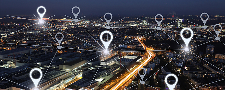
With the continuous development and progress of technology, the industry applications of drones are gradually expanding. As one of the main segments of civilian drones, the development of mapping drones is also becoming more and more mature, and the market scale maintains high growth. Drones in the application also shows a diversified trend, favored by the users of various industries.
1. Urban Planning
At present, urbanization is accelerating, the pursuit of high quality of life and the increasing demand for smart city construction, urban planning has become increasingly important. The traditional means of planning mainly relies on human measurement, obviously, this has been unable to meet the needs of the new era of urban planning development.
The application of mapping drones in the field of urban planning has brought effective innovation to urban planning. For example, mapping drones operate from the air, which can reduce the restrictions and blind spots of ground mapping and improve the efficiency and accuracy of mapping.
2. Homeland Mapping
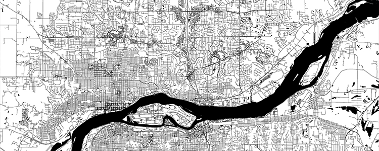
Territorial mapping is one of the main application areas of mapping drones. The traditional way there are difficult mapping, higher costs and other problems. In addition, the complexity of terrain, environment and climate also brings many restrictions and difficulties to traditional mapping, which is not conducive to the orderly development of mapping work.
The emergence of drones has brought new developments to land surveying and mapping. First, drones carry out mapping from the air, breaking through the constraints of terrain, environment, climate and other factors, mapping a wider range and higher efficiency. Second, drones instead of manpower for mapping, in reducing manpower expenses at the same time, but also to protect the safety of mapping personnel.
3. Construction
Before construction, mapping the surrounding environment and building area is essential, which is not only responsible for the safety of building construction, but also for environmental protection. In this context, drone mapping has an important application value for both aspects.
Compared with the traditional construction mapping method, UAV mapping has the characteristics of simple operation, flexible application, wide coverage, high efficiency, low cost and high security. Coupled with the various technologies and hardware paired with drones, the various assistance in data analysis, processing and decision-making, mapping drones are not only simple building construction mapping tools, but also a powerful assistant to the progress of the project.

4. Conservation of Cultural Relics
In the field of heritage conservation, mapping is an essential but challenging task. On the one hand, it is necessary to obtain the data of cultural relics through mapping in order to provide restoration and protection of cultural relics, on the other hand, it is necessary to avoid damage to cultural relics in the process of mapping.
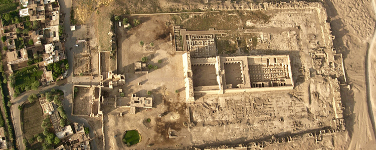
In such a context and demand, drone mapping is a very valuable way of mapping. Since drone mapping is carried out from the air without contact, it does not bring damage to cultural relics. At the same time, drone mapping can also break the space limitation, thus improving the efficiency and accuracy of mapping and reducing the cost of mapping. For the acquisition of cultural relics data and subsequent restoration and protection work, drone mapping plays a very important role.
Post time: Mar-28-2023