In the rapid development of drone technology and application scenarios continue to open up today, the drone with its unique advantages in agriculture, inspection, mapping and many other fields are playing an active role.
Today and you talk about the role of drones in the field of forestry.
Applications
The current applications of drones in forestry are mainly in forest resource survey, forest resource monitoring, forest fire monitoring, forest pest and disease monitoring and control, and wildlife monitoring.
Forest resources survey
Forestry survey is a forestry survey targeting forest land, forest trees, animals and plants growing within the forest area and their environmental conditions. Its purpose is to grasp in a timely manner the quantity, quality and dynamic patterns of growth and extinction of forest resources, as well as their relationship with the natural environment and economic and management conditions, so as to better formulate forestry policies and make full use of forest resources.
Traditional means need to spend a lot of manpower and material resources, and the use of satellites is easily affected by weather and clouds, and remote sensing image resolution is low, the refresh cycle is long, and the cost of use is also high. The use of drone remote sensing technology can effectively make up for the shortcomings of the first two categories, quickly obtain high-precision spatial remote sensing information of the required area, not only for the precise zoning of forest patches, but also for low-cost, high-efficiency, and high timeliness. This reduces the workload of the grass-roots level and improves work efficiency.
Forest resources monitoring
Forest resource monitoring is the work of regular and positional observation, analysis and evaluation of the quantity, quality, spatial distribution of forest resources and their utilization, and is the basic work of forest resource management and supervision.
Fire monitoring
Forest fire is a kind of natural disaster with strong suddenness and great destructiveness. Due to the complicated terrain environment and weak infrastructure conditions, it is extremely difficult to fight forest fire once it occurs, and it is easy to cause serious ecological loss, economic loss and human casualties.
By combining GPS positioning, real-time image transmission and other technologies, the drone can realize the extraction of forest fire point and hotspot information, fire investigation and confirmation, and fire warning and distribution. It helps to detect forest fires early and grasp fire information in time, which facilitates the rapid deployment of fire prevention forces and reduces the loss of life and property.
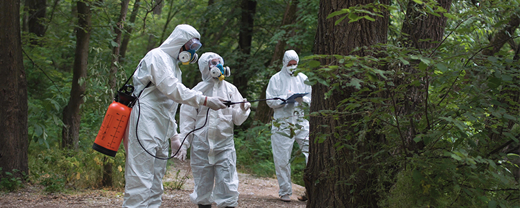
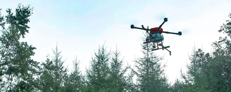
Pest and disease monitoring
Forest pests and diseases are the primary threat to forest health, and their damage or loss to forest resources is enormous, making them the "non-smoking forest fires".
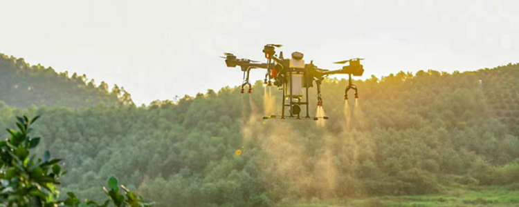
The traditional means of monitoring pests and diseases mainly relies on manual means such as patrol detection, which is subjective and has a time lag, especially in large areas and complex terrain, the traditional means show greater vulnerability. The drone technology has the advantages of monitoring a wide area, real-time, objectivity, high efficiency, etc. Compared with the traditional manual methods, the use of drones to implement pest control can not only effectively reduce the cost, but also solved the problem of uneven manual placement, high mountains and steep land can not be placed, etc., which can greatly improve the efficiency of prevention and mitigation.
Wildlife monitoring
Wildlife is not only related to the ecological balance of nature, but also of great significance to the survival and development of human beings. Keeping abreast of the basic information on wildlife species, numbers and distribution is essential for wildlife conservation.
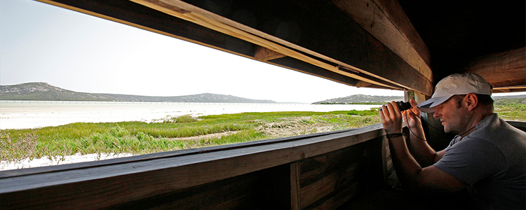
The traditional monitoring method is to utilize manual direct counting, which is not only less accurate but also more costly. The use of drones for monitoring has a very obvious advantage, not only can it enter areas that are difficult for human labor to enter, but also has less disturbance to wildlife and avoids disturbing certain animals that may cause harm to the monitoring personnel. In addition, the accuracy of the results of drone monitoring is much higher than that of human methods, with the advantages of high timeliness and low cost.
With the progress of science, drones will be able to be combined with more and more high-tech, and their performance and functions will be further improved, and they will certainly play a greater role in forestry, providing a strong support for promoting the construction and development of modern forestry, intelligent forestry and precision forestry.
Post time: Sep-05-2023