With the rapid development of drone technology, the new technology has gradually replaced the traditional aerial survey methods.
Drones are flexible, efficient, fast and accurate, but they can also be affected by other factors in the mapping process, which can lead to inaccurate data accuracy. So, what are the main factors that affect the accuracy of aerial survey by drones?
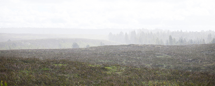
1. Weather Changes
When the aerial survey process encounters high winds or foggy weather, you should stop flying.
First, high winds will lead to excessive changes in the flight speed and attitude of the drone, and the degree of distortion of the photos taken in the air will increase, resulting in blurred photo imaging.
Second, bad weather changes will speed up the power consumption of the drone, shorten the flight duration and fail to complete the flight plan within the specified time.
2. Flight altitude
The GSD (the size of the ground represented by one pixel, expressed in meters or pixels) is present in all drone flight aerials, and the change in altitude of the flight affects the size of the aerial phase amplitude.
It can be concluded from the data that the closer the drone is to the ground, the smaller the GSD value, the higher the accuracy; the farther the drone is from the ground, the larger the GSD value, the lower the accuracy.
Therefore, the height of the drone flight has a very important connection with the improvement of the aerial survey accuracy of the drone.

3. Overlap Rate
Overlap rate is an important guarantee to extract the drone photo connection points, but in order to save flight time or expand the flight area, the overlap rate will be adjusted down.
If the overlap rate is low, the amount will be very little when extracting the connection point, and the photo connection point will be little, which will lead to rough photo connection of the drone; on the contrary, if the overlap rate is high, the amount will be much when extracting the connection point, and the photo connection point will be many, and the photo connection of the drone will be very detailed.
So the drone keeps a constant height on the terrain object as much as possible to ensure the required overlap rate.

These are the three major factors that affect the accuracy of aerial survey by drones, and we must pay strict attention to weather changes, flight height and overlap rate during aerial survey operations.
Post time: Apr-11-2023